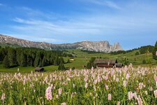
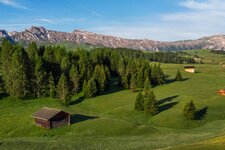
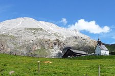
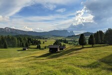
This 12 km long round tour to the Molignon mountain hut (2,054 m a.s.l.) overcomes an altitude difference of 630 metres
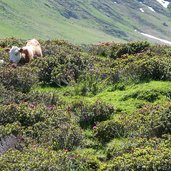
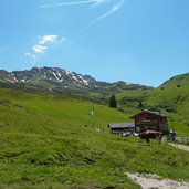
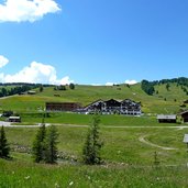
Image gallery: Hiking tour from Saltria to the Molignon mountain hut
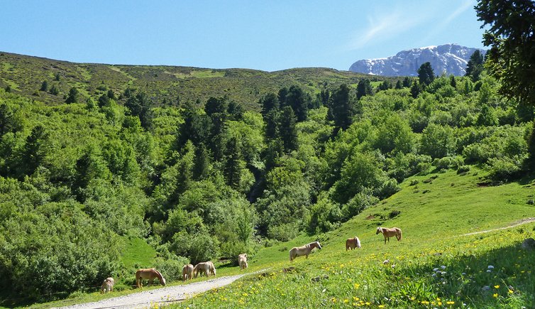
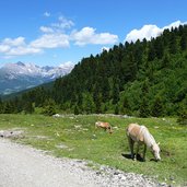
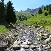
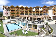
From Saltria (1,680 m a.s.l.) we follow trail no. 9 towards the Tirler alpine pasture, passing the Hotel Floralpina. The Tirler mountain hut, where we have a short rest, is one of the most popular restaurants on the Alpe di Siusi. We continue our hiking tour on trail no. 8, a forest road with some serpentines, leading us along the Rio Dialer and some horse pastures.
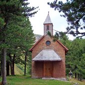
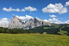
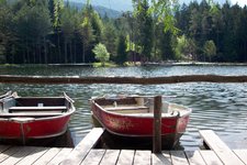
Arrived at the former place of the Dialer mountain hut, its small chapel and lake, we enjoy the great view of Mt Sassolungo and Mt Sasso Piatto, of Mt Molignon and the Denti di Terrarossa (Horse Teeth) rock formations. The Dialer mountain hut was demolished in 2010.
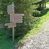
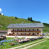
After a short rest we follow trail no. 7 to the Molignon mountain hut. From here, we take trail no. 12 and later trail no. 12A, until we reach trail no. 30, which finally leads us back to our starting point Saltria.
Author: AT
-
- Starting point:
- Saltria
-
- Time required:
- 04:00 h
-
- Track length:
- 12,5 km
-
- Altitude:
- from 1.679 m to 2.147 m
-
- Altitude difference:
- +506 m | -506 m
-
- Route:
- Saltria - Tirler alpine pasture - Dialer chapel - Molignon mountain hut - Saltria
-
- Signposts:
- 9, 8, 7, 12, 12A, 30
-
- Resting points:
- Floralpina, Tirler, Rifugio Molignon/Mahlknechthütte, Laranzer Schwaige
-
- Recommended time of year:
- Jan Feb Mar Apr May Jun Jul Aug Sep Oct Nov Dec
-
- Download GPX track:
- Hiking tour from Saltria to the Molignon mountain hut
If you want to do this hike, we suggest you to check the weather and trail conditions in advance and on site before setting out.
